Field Research Notes – September 18th 2025
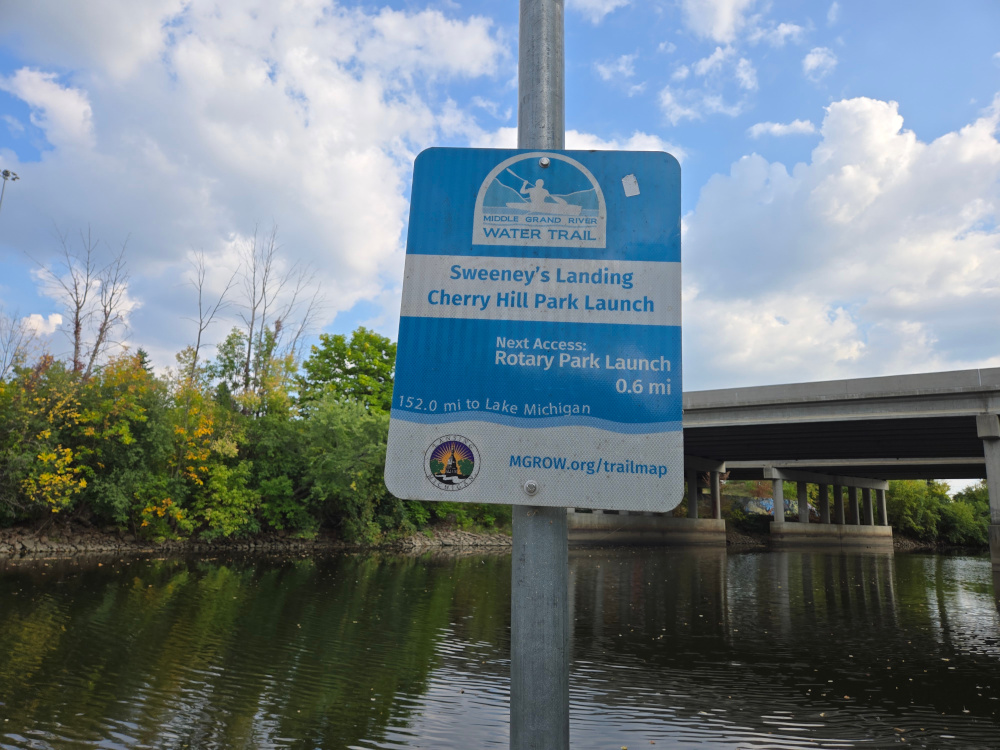
Sweeney’s Landing | Cherry Hill Park
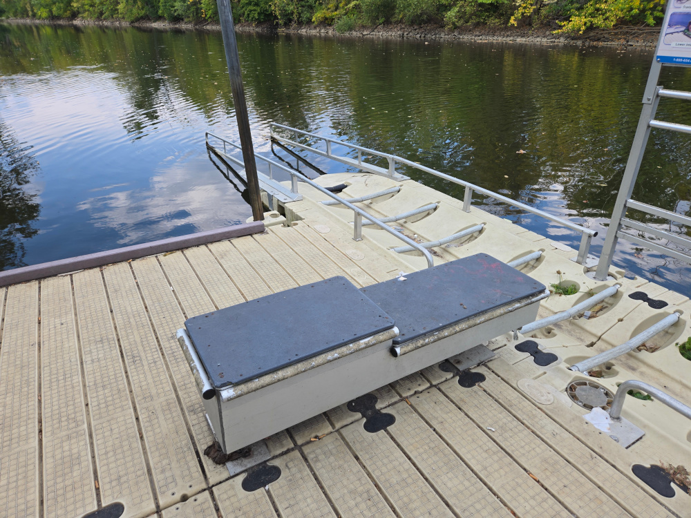
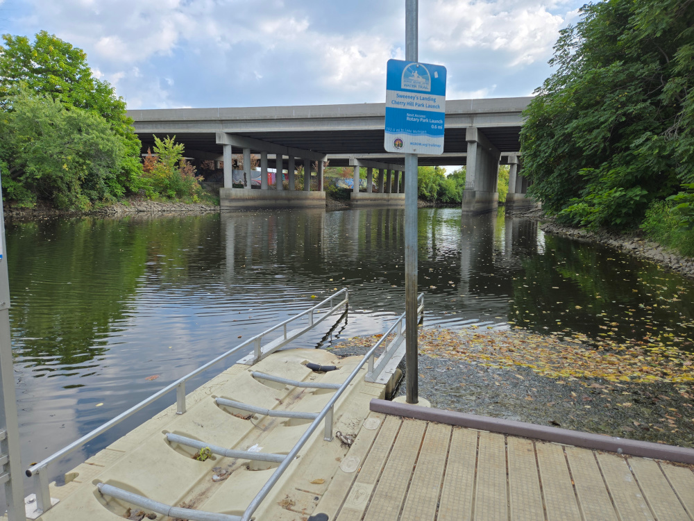
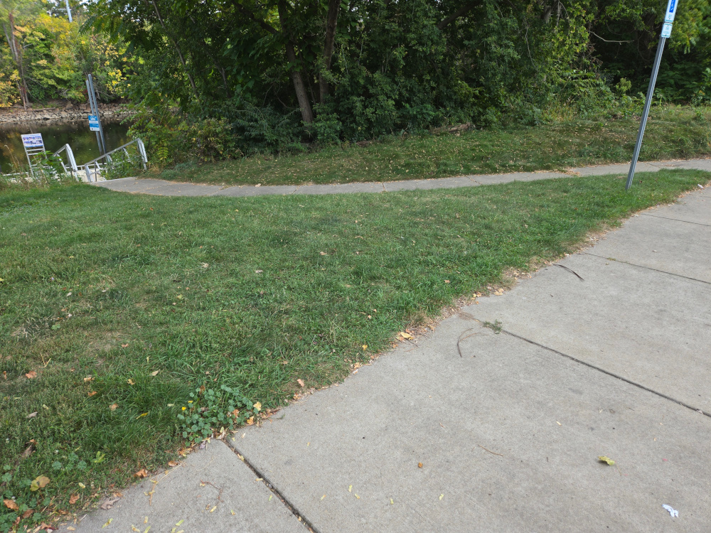
After getting my hair cut, I went to Sweeney’s Landing. The only thing to say about Sweeney’s Landing is that it exists and it has a kayak launch (and a boat launch for some reason).
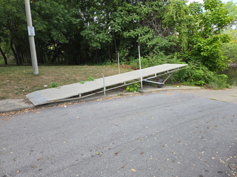
I would be concerned about leaving a vehicle there for an extended period of time. The park there (Cherry Hill Park aka River Street Park) has a sidewalk / path that doesn’t start out near the river but eventually goes back to it near Kalamazoo St. This runs on or about the river on the west side all the way Oakland St and there is a foot bridge crossing at just below Saginaw Ave at the updated Adado Riverfront Park (where the concerts happen). Going south on the sidewalk / path runs along the REO town Apartments to the Washington Ave Bridge. That bridge is foot / bike cross-able and would connect to the Lansing River Trail going down W. Hazel St.
Ultimately, it looks like this park should not be needed and likely avoided.
This is a known economically depressed area of Lansing and introduces too much risk.
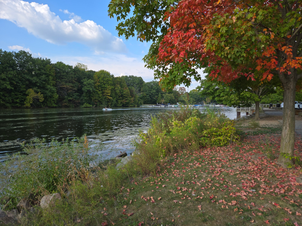
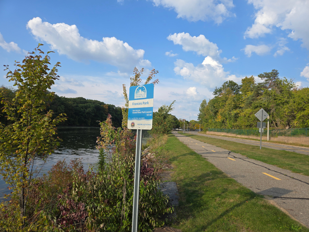
Frances Park | River View
After Sweeney’s Landing, I went to Frances Park to find out if there are any kayak access in the area. To which there are none. But could make something happen in a pinch. There is a walkway from Waverly Road to essentially Cambridge Road. But after that it is residential and sidewalks are way off the river. Riverside park does not have parking and is not accessible as far as I can tell at this time. Some work still exists to research the space between Moore’s park and riverside park and will need to consider the residential between Riverside Park and Frances Park as a “No Go”.
Strangely has a sign pointed at the river but no actual access to the river. Weird.
Once I was done walking Frances Park / River View, I drove through the Frances Park proper to see what it was like. It is a VERY VERY nice park. I then decided I would do a quick view of Hunter’s Ridge Park.
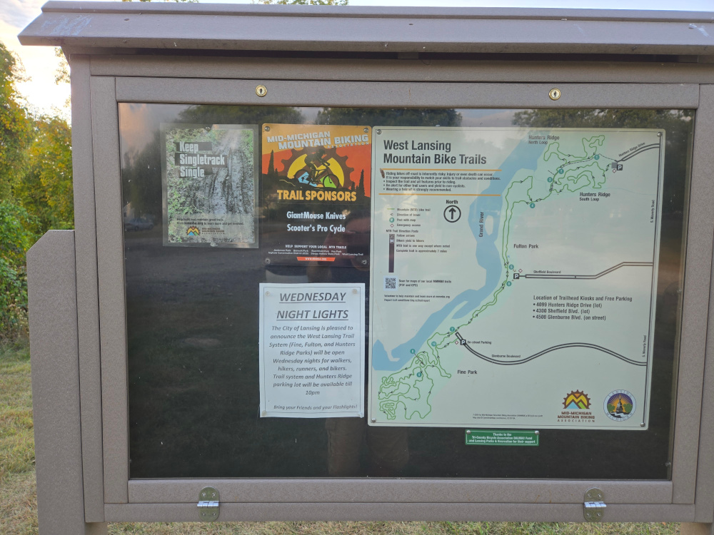
Hunter’s Ridge Park
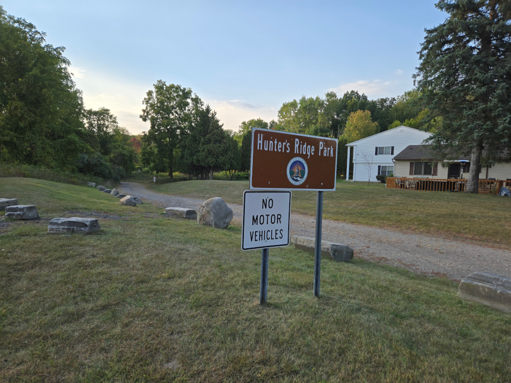
So we will start with the bad news. There is no direct access between the Parking Area for Hunter’s ridge and the river. The good news is that it is very likely to park there, hike or bike the kayak along a wide trail to the river and “manually” launch. So this make this spot very feasible.
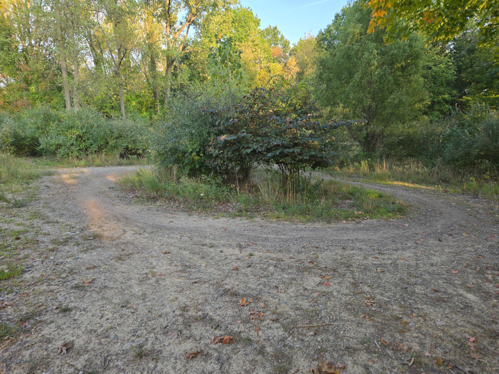
The larger, wider trail end in a circle point but has a smaller trail that connects to the river and other trails.
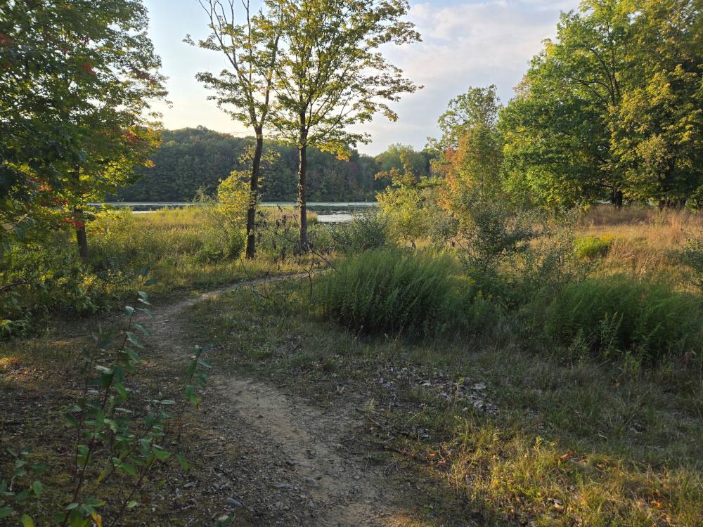
The other good news is that it is part of a series of trails connecting Fulton Park and Fine Park. So this will be future Field Research locations.
Notes for Next Field Research
Want to definitely stop at Moore’s park again and look to see if there is any method for accessing upstream and get more information if possible about Riverside Park.
Will definitely want to spend more time in the Hunter’s Ridge / Fulton / Fine trail area. This looks promising for a few different reasons.
Addendum for the Sept 4th Field Research
I was able to go back to Willbro Beach Kayak Landing | Rotary Park and get a picture of the sign that I didn’t get close enough in Field Research Notes – Sept 4th 2025
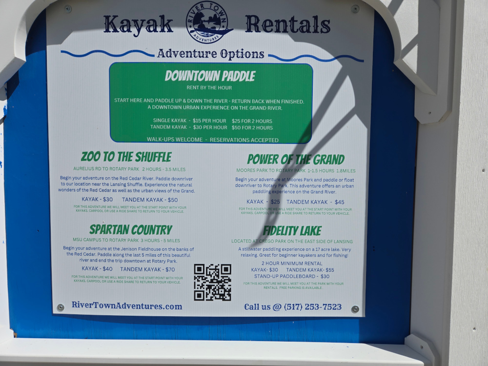
So the “Zoo to the Shuffle”, “Spartan Country” and “Fidelity Lake” go along the Red Cedar River and represent different distances from Rotary Park . This would be a separate project for kayaking but may be a future research project.
The “Power of the Grid” is just the existing research work that has already been done.