Field Research Notes – Sept 4th 2025
Moore’s Park / Lansing River Trail (Willbro Beach Kayak Landing)
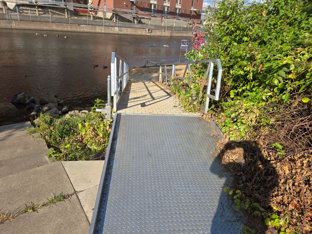
First off, silly me for completely forgetting about Willbro Beach landing (didn’t know the name) in front of the Lansing Shuffle downtown. Which is a perfect stop on the route and is also a kayak service location.
Started out in Moore’s park. The kayak access is not too far from parking
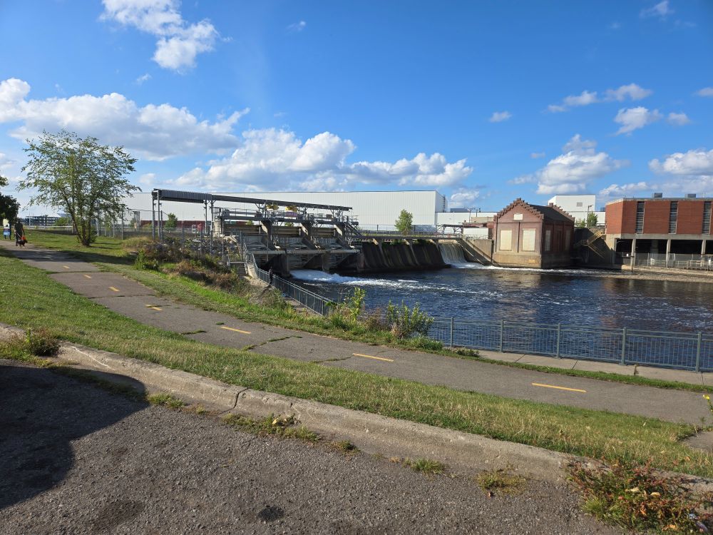
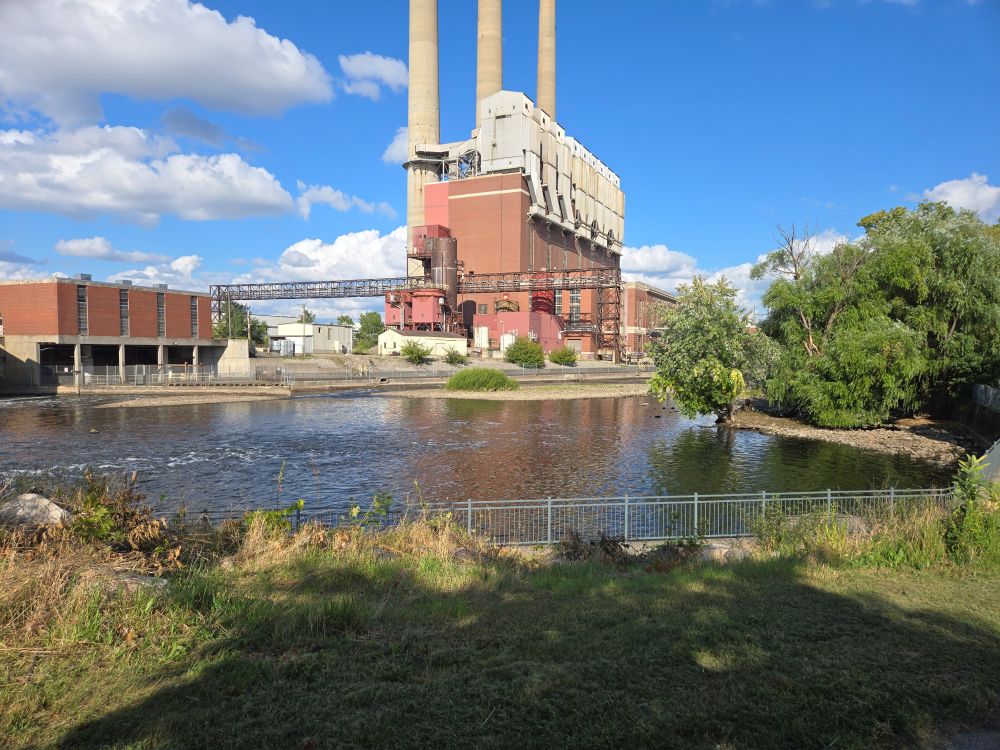
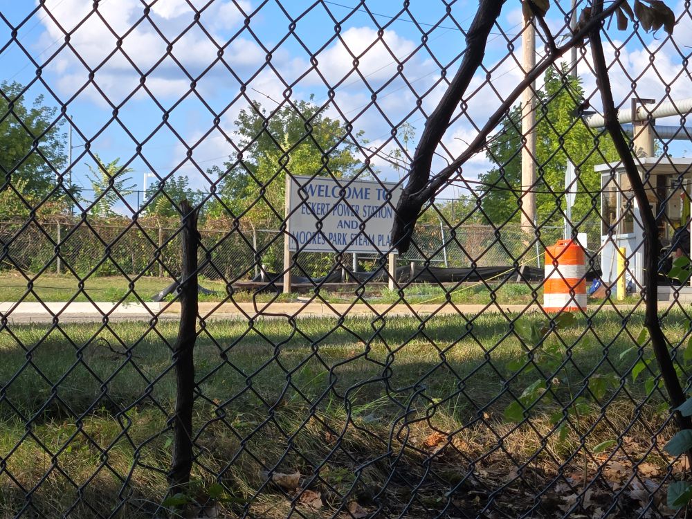
From there I walked the Lansing River Trail over 2 miles to the Lansing Shuffle. This involved first walking Moore’s park and then taking a foot bridge that crossed the river. The trail ran along the side of the Power Plant.
There was another foot bridge crossing the river which goes into Scott Park which goes into River Point Park.
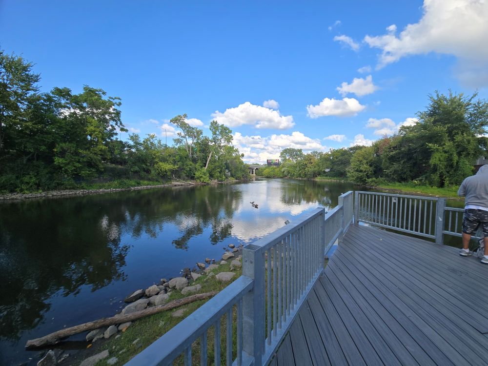
The River Point Park is actually at the split between the Grand River and the Red Cedar River (another potential add on to the Kayak project). From the River Point Park you actually have to cross the Red Cedar River to continue to follow the Grand River upstream. This (essentially) puts you into Elm Park. Where you can see the Point from the other side.
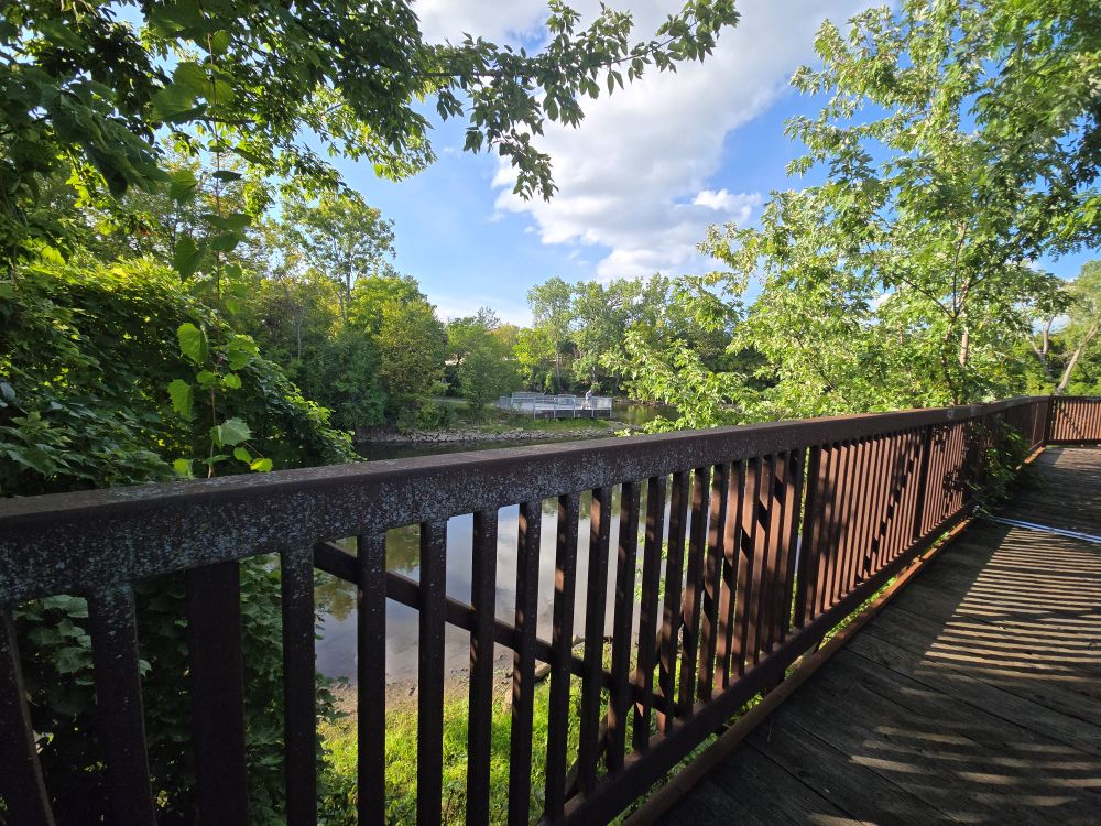
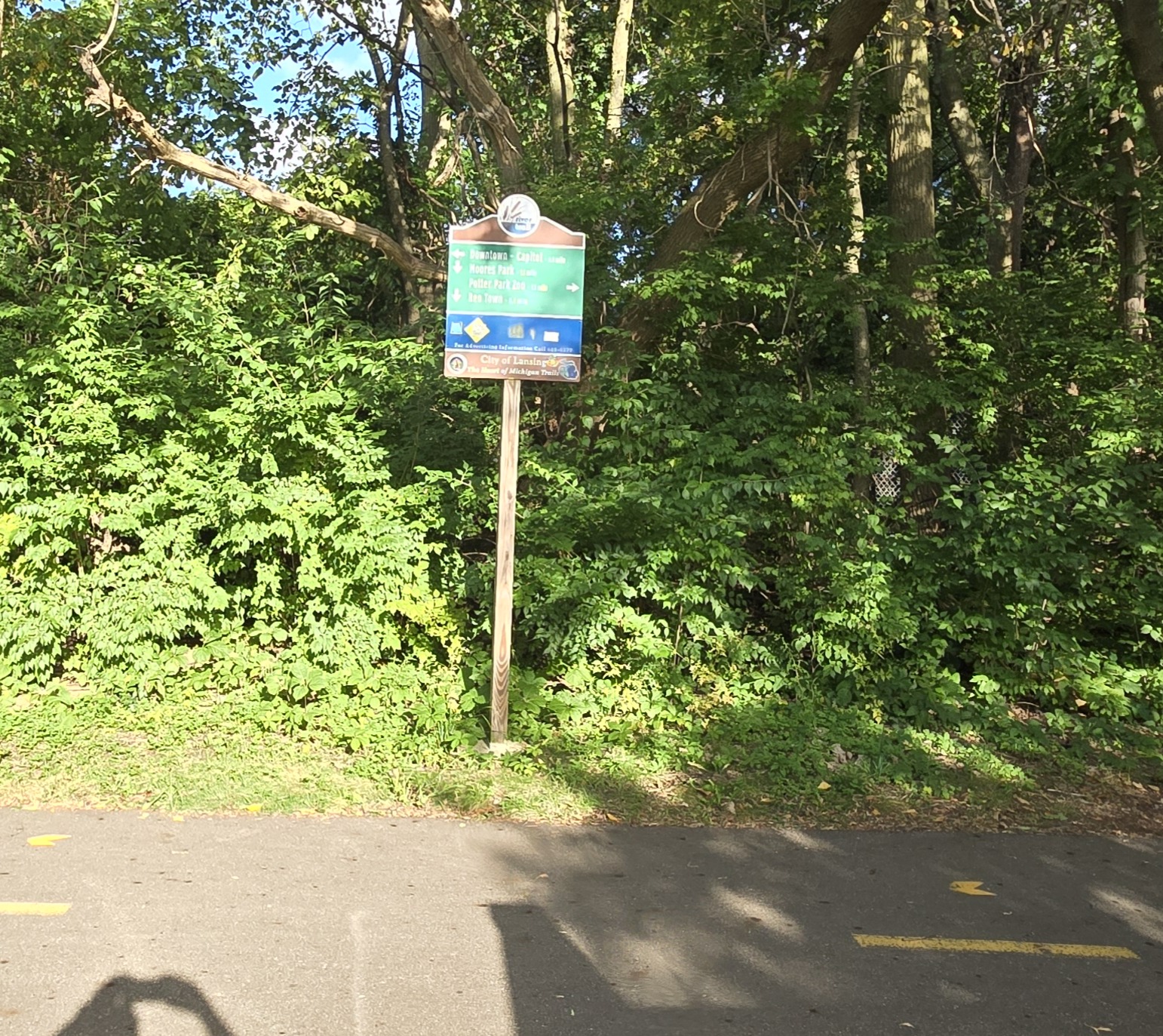
Note: it is at this bridge crossing to Elm Park where the fork between going to Moore’s Park or going to MSU takes place. In the past this is where Melissa and I rode bikes and came across where a tree was down and had to ride around to get back on the path. Going the other direction takes you to the Zoo and eventually to MSU.
Continuing on upstream of the Grand River is the 496 overpass. After the 496 overpass you can see the Sweeney Landing through the trees but not very well.
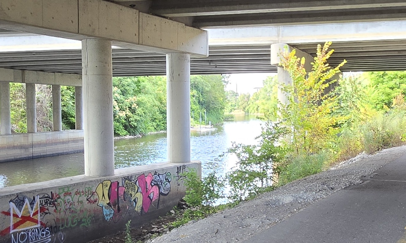
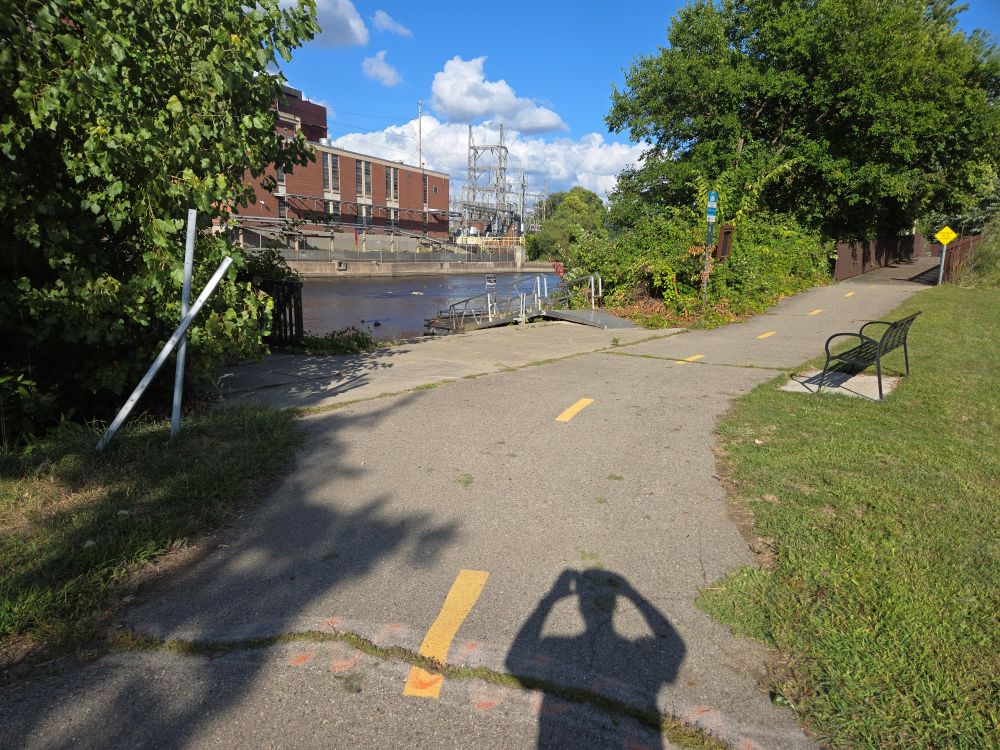
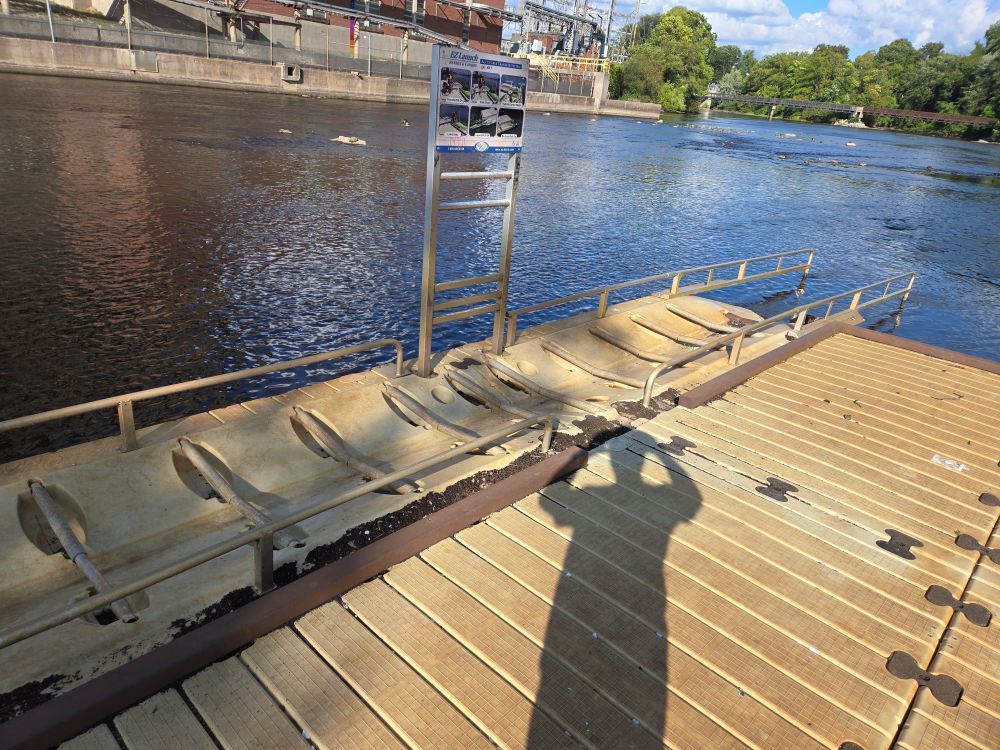
Then onto a homeless encampment under the Kalamazoo St overpass. Next is the Museum district which after going under the Michigan Ave overpass puts you behind the Lansing Center and then to the Lansing Shuffle which has the Willbro Beach Kayak Landing.
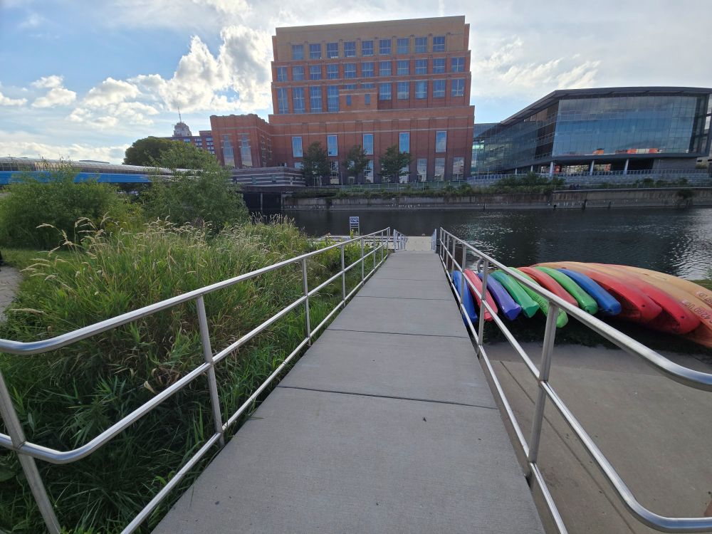
It is also noted that they have a Kayak Rental location here
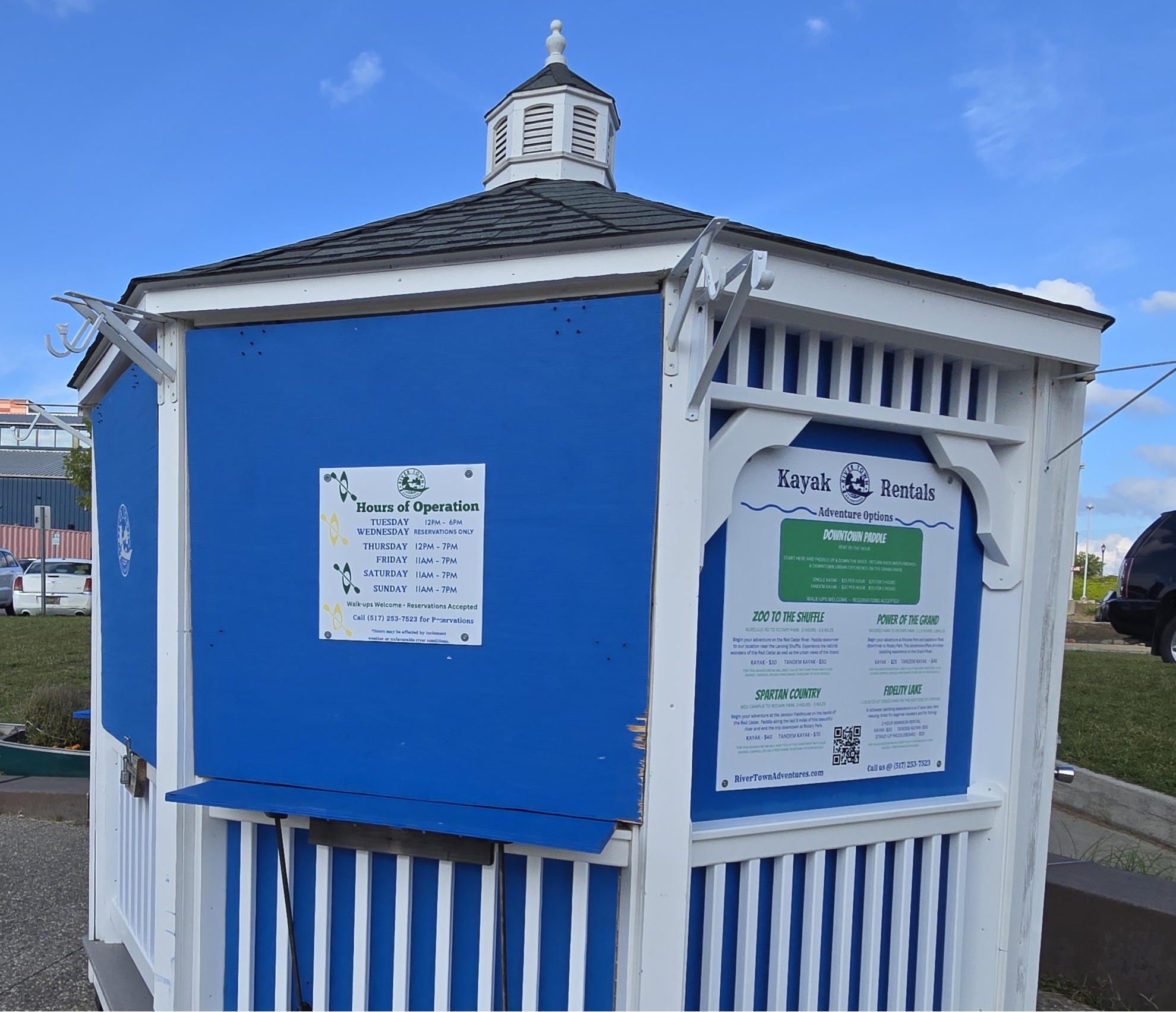
Based on the sign, they have trips that run from the Zoo, from MSU (Red Cedar), from Moore’s (Maybe?) and another that I can’t tell. Would need more information.
Note: Is is just over a half a mile from the Willbro Launch and the portage around the Brenke Fish Ladder / Dam (3900 ft). It’s about the same amount of distance (3600 ft) from Willbro to the Sweeney Landing. It is about 1.1 miles from Sweeney Landing to Moore’s Park. A likely run to do is actually from Willbro Beach, down to the Dam, then back up to Moore’s and then down back to Willbro.
Notes for Next Field Research
Definitely need to go to Sweeney Landing (Cherry Hill Park) at the very least to get a feel for what is going on there. Also need to see if there is any kind of access at River View near the Waverly Rd crossing. The closest parking looks to be near Rose Garden / Frances Park.
Also Need to see if there is any kind of access at Hunter’s Ridge Park. Finally, would need to see if there is any kind of access at Fulton Park or Fine Park. Beyond that is going to take some serious in depth research.
As for the other direction (downstream), I want to take another look at Fitzgerald Park. Also need to check out possibly Lincoln Brick park, Grand Kayak and Charlotte Hwy Kayak Launch. This will also require some deep research beyond that.
[…] I was able to go back to Willbro Beach Kayak Landing | Rotary Park and get a picture of the sign that I didn’t get close enough in Field Research Notes – Sept 4th 2025 […]