Field Research Notes – August 28th 2025
Field research on this day was in support of the Kayak project. In particular investigations took place of Dietrich Park, Turner Dodge Park, Burchard Park and the space next to Olympic Broil (across the river from Dietrich Park).
Dietrich Park
What was discovered with Dietrich Park is that it is small and there is only a small dock that is very far away from the parking area and a downhill path that leads to a dock
Also, as getting off the paved trail to the riverside foot trail, found a tent that may likely be a homeless encampment. At this time, I would consider Dietrich park an emergency stop but not a planned one. The little bit of walkway was somewhat maintained and as most of the bank on the river is difficult to access, it would not be impossible to use as recovery in an emergency. Next was moving onto Turner Dodge Park and evaluating.
Turner Dodge Park
This is a fairly sizable park on the other side of the street (Grand River Ave) to Dietrich Park once you make your way down from the parking area. This is a significant walk and the entire park is quite high from the river with no access. The park is big as a significantly sized building was removed and a field remains. Not sure if there are any plans for that field at this time. Also not sure on the ground quality since a large building a parking lot used to be there (see current google maps).
There is no access to the river from this park. Kept the vehicle there and walked up to Burchard Park which is also right next door to Turner Dodge Park (on the other side, south. Upriver but south on a map).
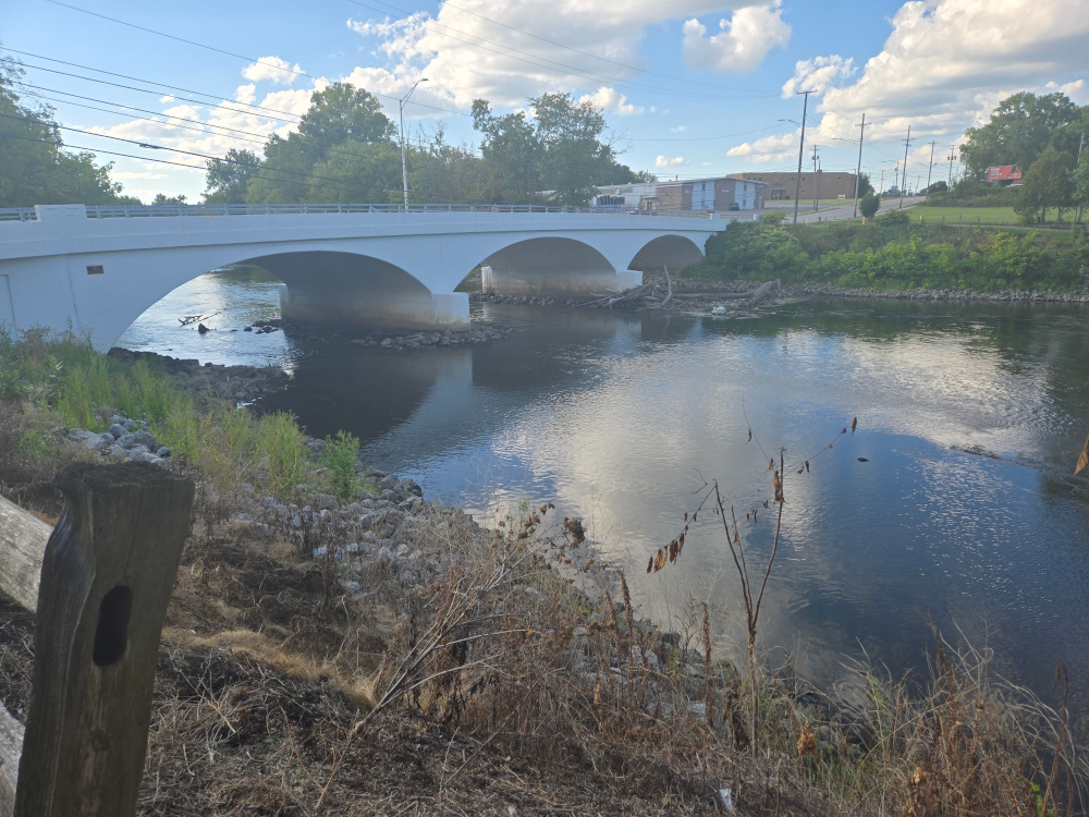
Burchard Park
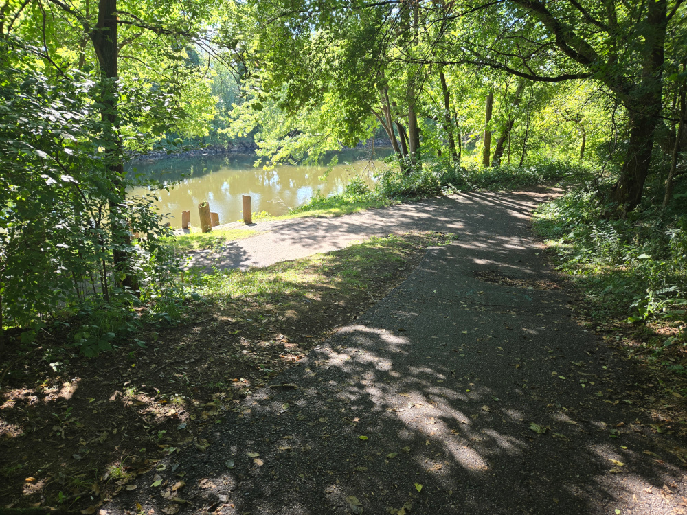
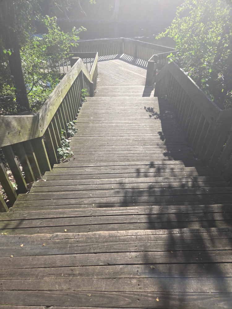
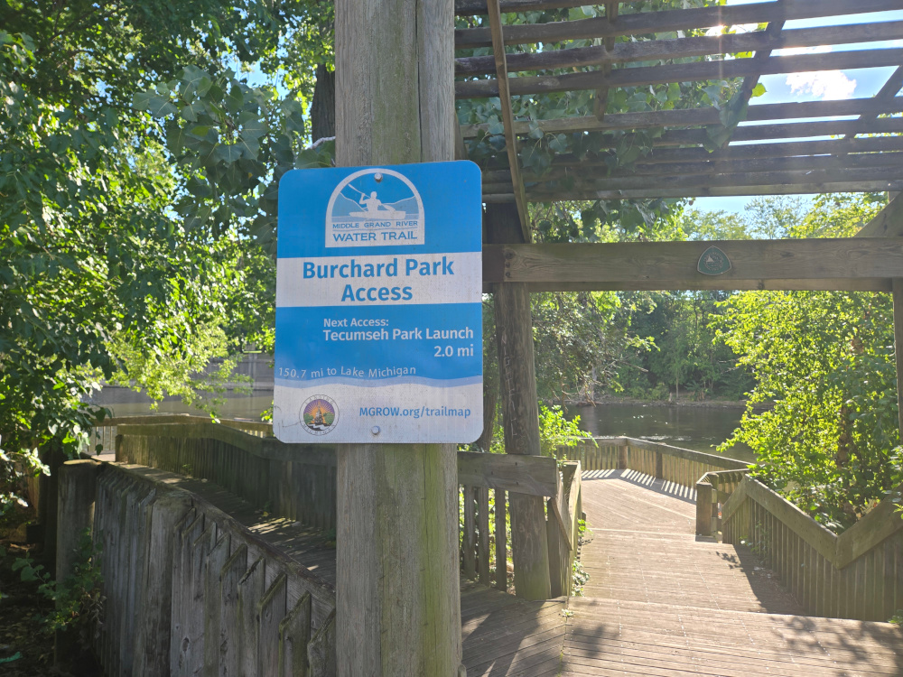
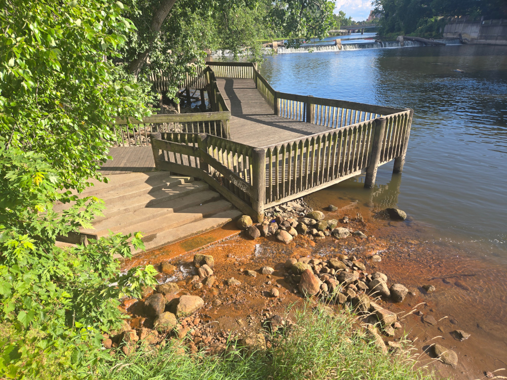
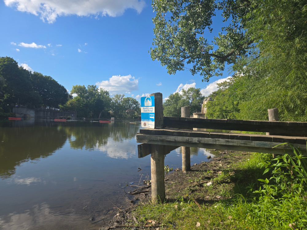
Burchard Park is definitely the next location and is located in Old Town with a significant parking area. This is the park that also is attached to the Brenke Fish Ladder and is the portage around the dam / fish ladder. The only current standing issue is the entire area around the fish ladder is under construction and fenced off. Making access to the upstream portion of the dam difficult and far. The downstream access is still open but it should be noted that stairs would need to be traversed with the kayak.
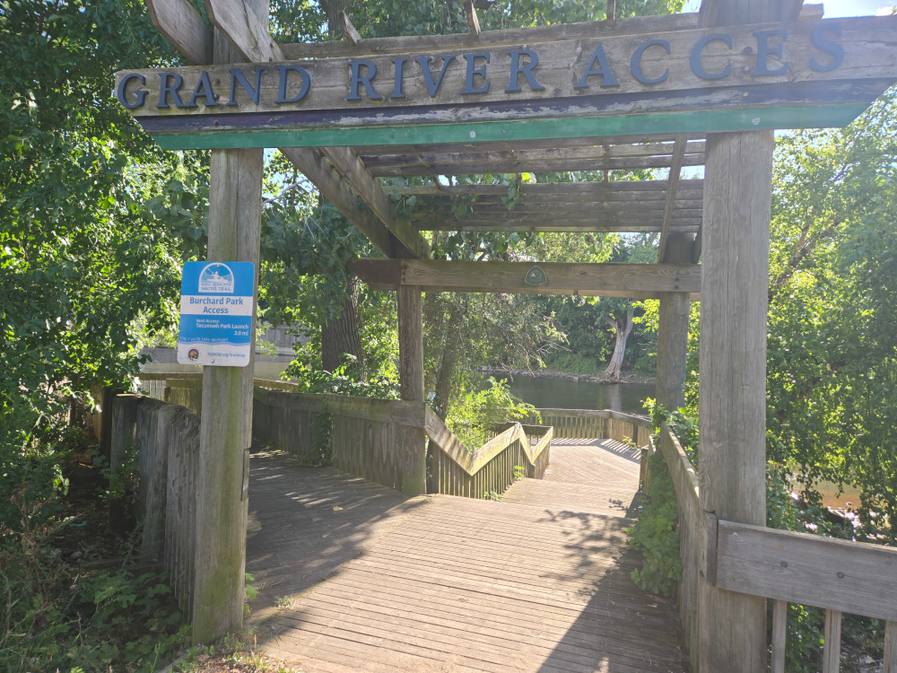
We can see from the sign, however that the Tecumseh Park Launch is listed at only 2 miles. This confirms the idea that going from Tecumseh to here is reasonable.
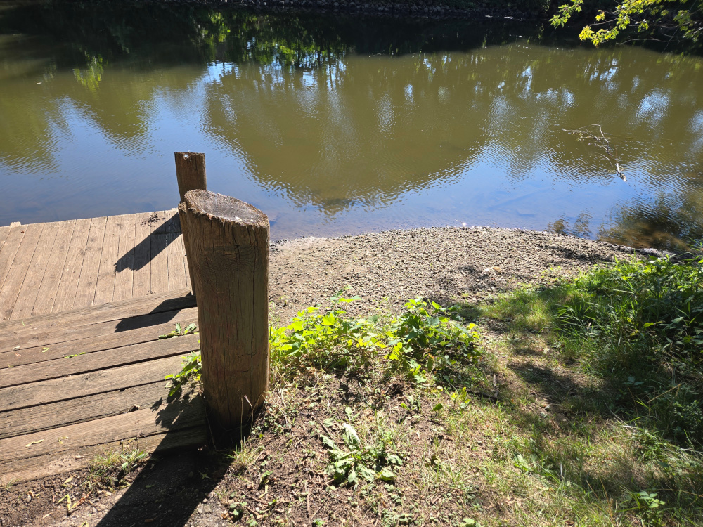
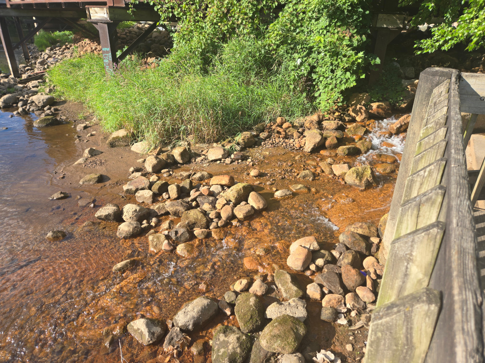
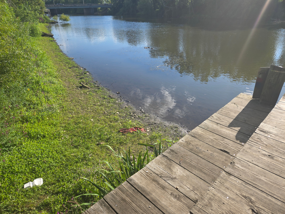
At the bottom of the stairs, there is a platform but very little space to launch and it is a bit rocky.
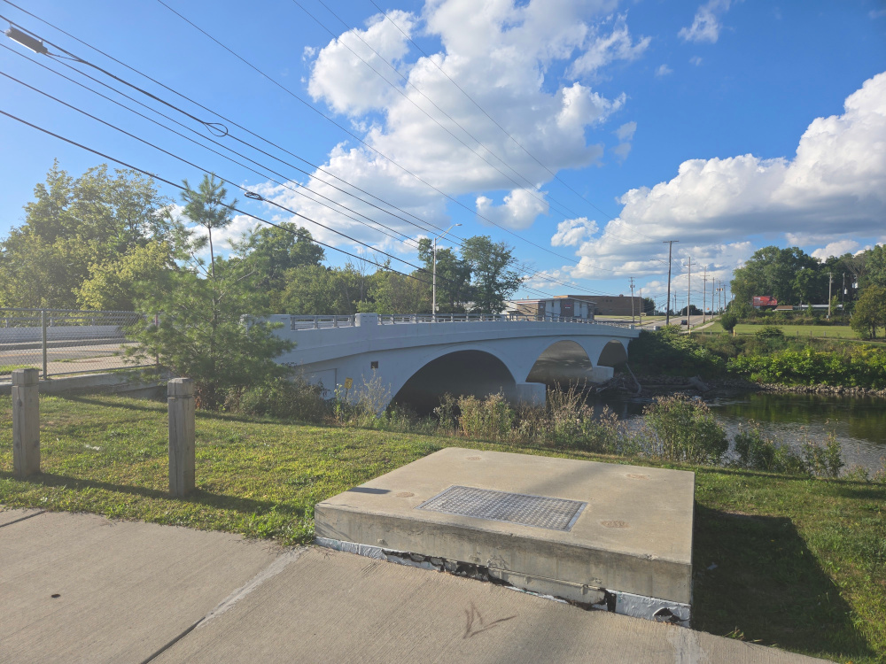
Walking over to the upstream portion, did not get a picture of the construction heading towards, but did get a shot from heading back from it
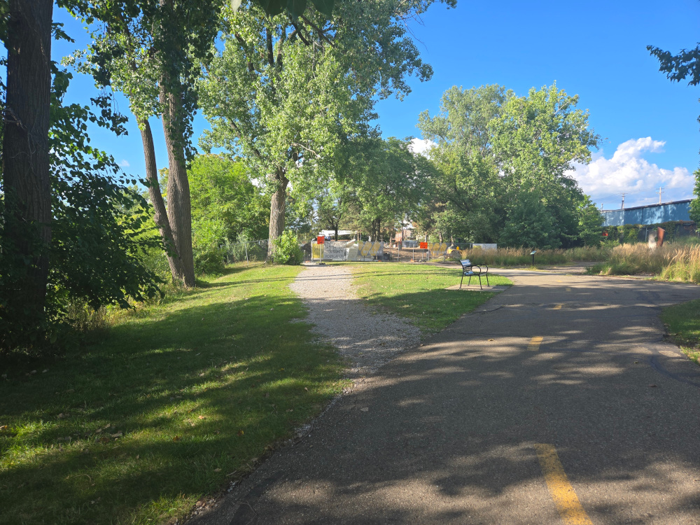
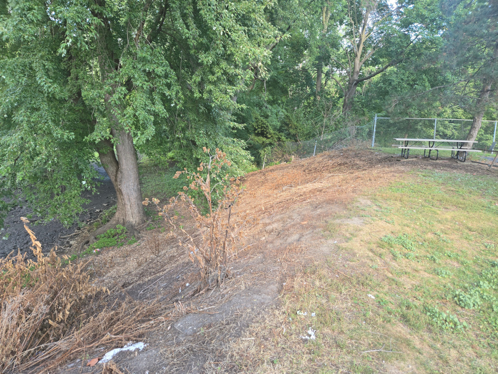
The upstream launch / recovery location is not very well set up / maintained. (at this time. Not sure how things will be once the construction is completed.)
All and all, this is feasible but it may be best to wait till next season, at least for the upstream leg. However, we should be good to go for the Grand Woods Park to Tecumseh Park Leg and the Tecumseh Park to Buchard Park legs. Also decided to check out the Olympic Broil park area that is on the other side of the river to the Turner Dodge Park and kitty Corner to Dietrich park.
This does not look like it could be used as an accessible launch recovery location but would work in an emergency situation as it does have some level of access and is fairly close the the parking lot. However, this is not a public park and is likely private property and should be treated as such.
Notes for next field research
Need to locate and investigate the Jaycee Park Launch. Also, due to construction work that is going on at Fitzgerald park, this may also wait until next season.
We may also want to do some future recon for Sweeney’s Landing (702 River St, Lansing, MI 48933) Boat Launch. (Sweeney’s Landing to River Trailer is less than a mile) and Moore’s Park (420 Moores River Dr, Lansing, MI 48910) Has Launch per google maps. Has dam that would need to be negotiated. (Sweeney’s Landing to Moors is 1.1 miles, likely do from River Trail to Moore’s Park as this is just around 2 miles). Note, Moors Park to Burchard Park may be a more likely run even though it is a bit of a haul. We should also plan on hiking in between as there may be alternative stop / rest locations.
As for downstream, Grand Kayak (13920 W State Rd, Grand Ledge, MI 48837 https://grandledgekayak.com/ ) May do some field research around here but per Grand Ledge Kayak’s website, the season ends September 10th. The good news is that it reports a known portage around the dam on the site at Fitzgerald park. So that wouldn’t be a surprise work around. Doesn’t address the use of it as a start/end point. It is estimated at 3.5 miles between Fitzgerald Park and Grand Kayak. Note, absolutely nothing downstream until Charlotte Hwy Kayak Launch (R484+32 Portland, Michigan) which we would want to investigate and also see if there are any other feasible stops as it is estimated at over 8.5 miles from Grand Kayak to Charlotte Hwy Kayak Launch.
Also, didn’t have this in the previous Kayak notes but the distance from Jaycee Park Launch to Fitzgerald park is estimated at 1.5 miles