Field Research Notes – September 25th 2025
Moore’s Park Revisited | Riverside Park
Returned to Moore’s Park to investigate the upstream launch capability from the dam. It is possible albeit slightly challenging as there is no actual kayak launch (like there is downstream) and it is pretty overgrown.
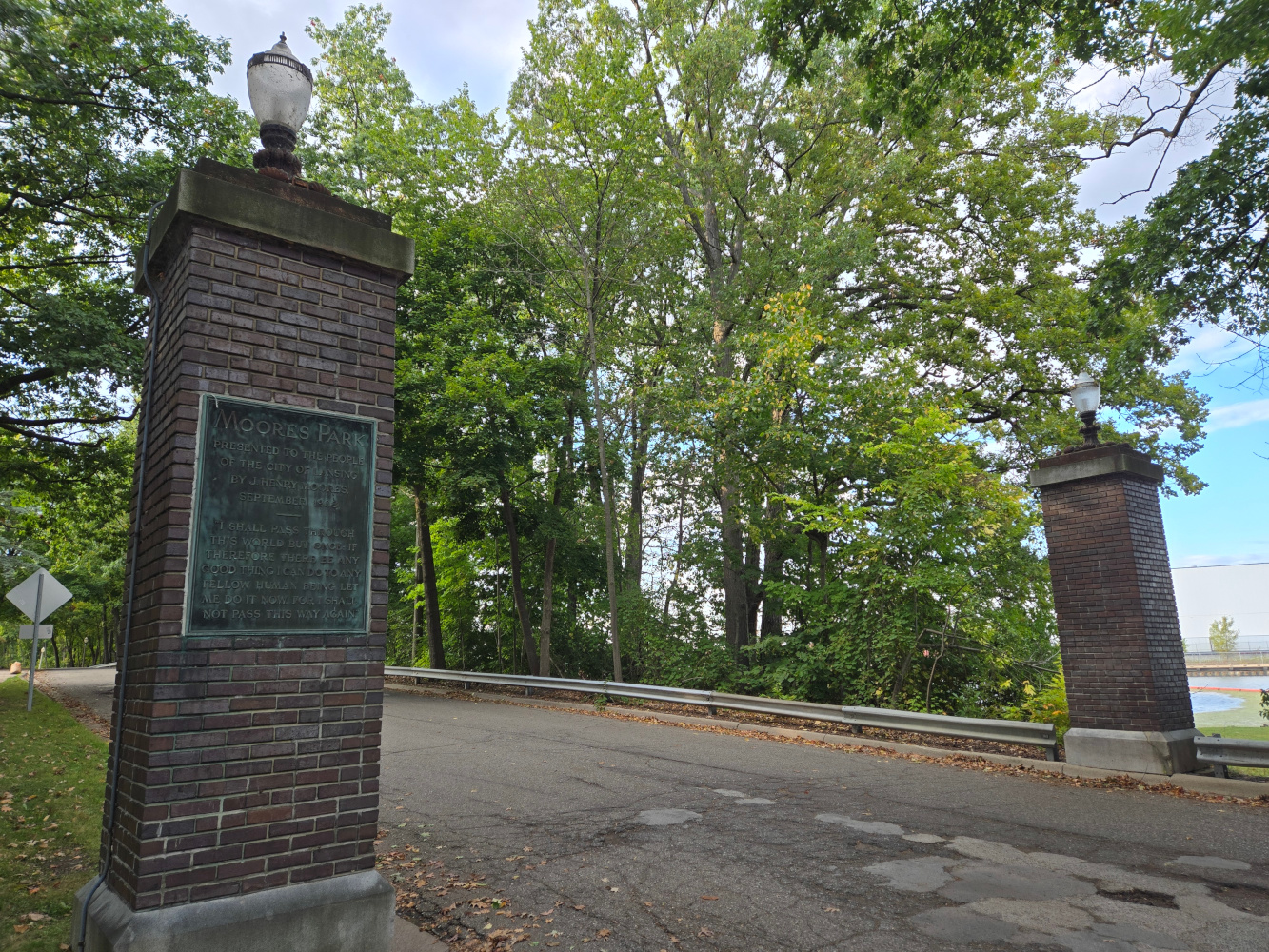
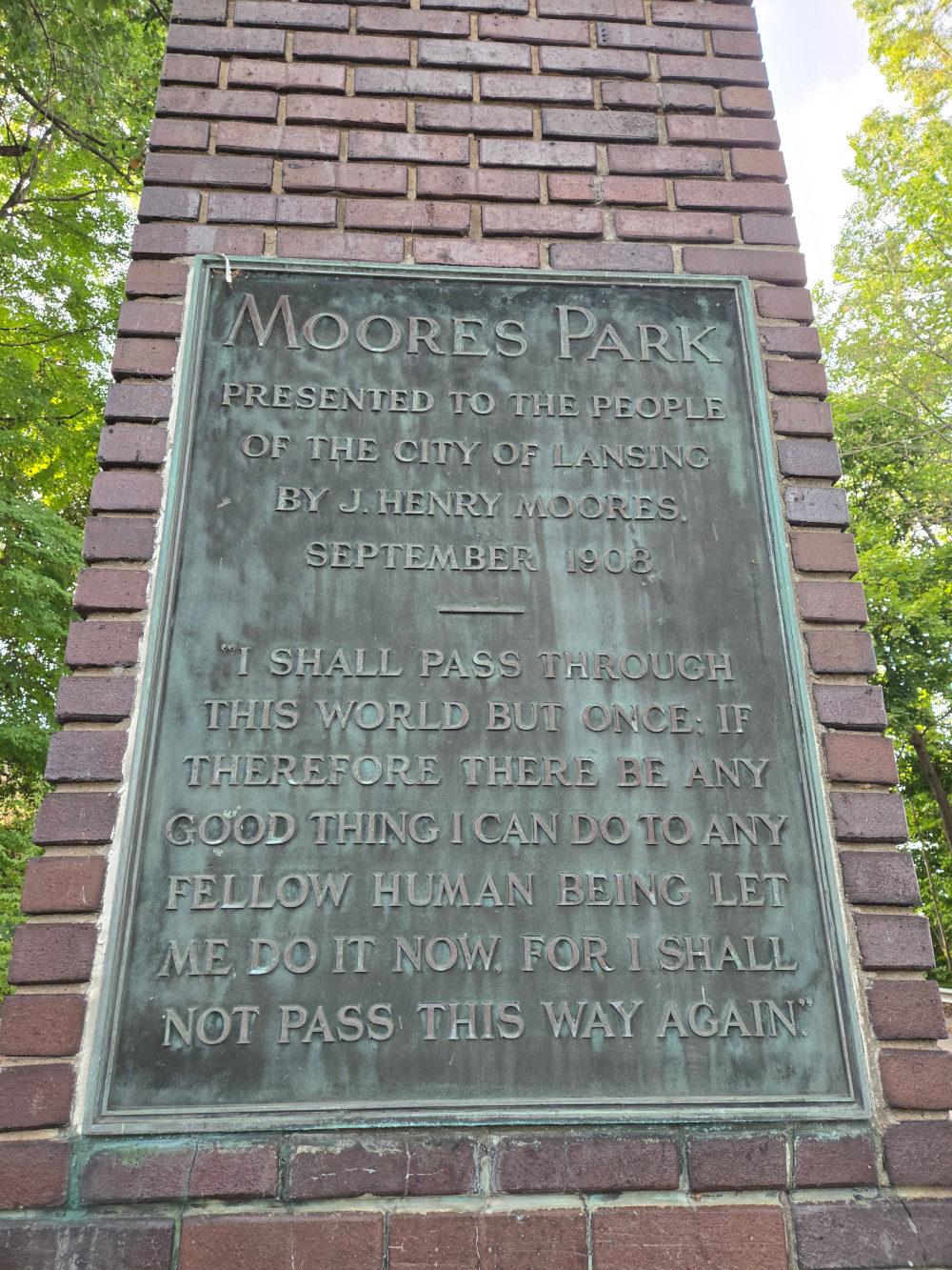
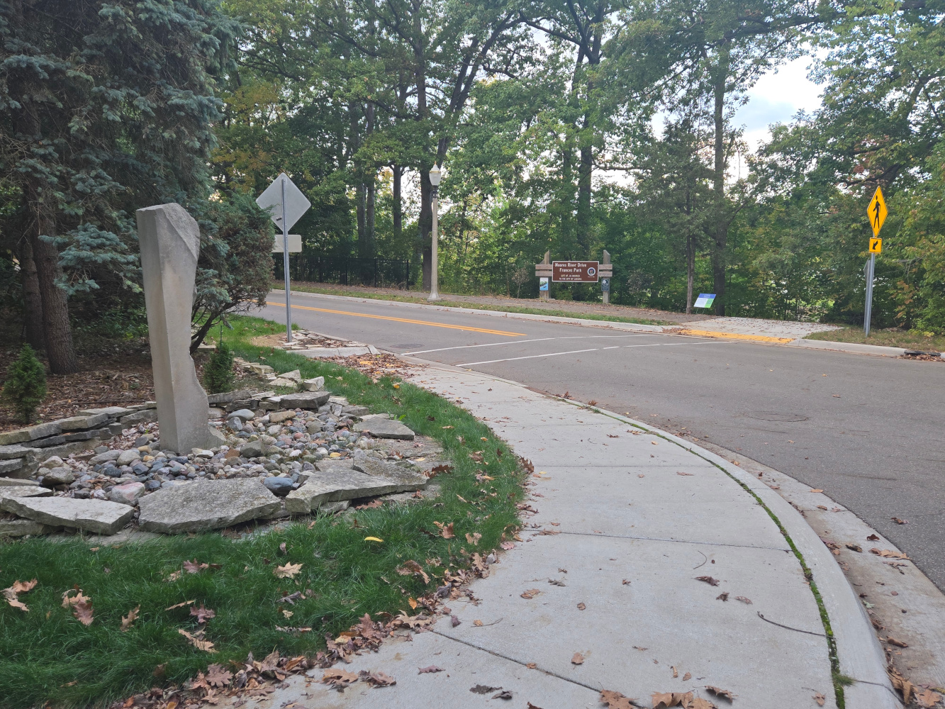
From there I walked the upstream route to see if there is a viable path all the way to Frances Park. Item of note, as I was leaving Moore’s Park, I saw two columns that were pretty cool looking with an interesting phrase on them.
I was able to walk (to a certain extent) along the river to MLK split road and onto the other side where the Riverside Park is. This would be the hardest part of the hike back and forth. As suspected, there is no parking on or near Riverside Park. Only thing that might be possible is parking in one of the side streets. But definitely before entering the “Moores River Drive Association”.
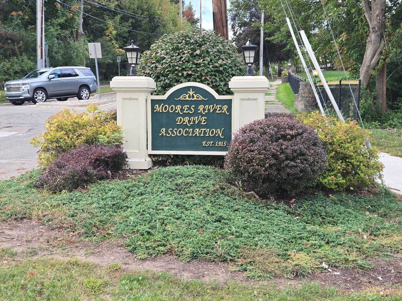
As some are aware, I hate HOA’s with a passion. Particularly for this “ritzy” neighborhood. Anyway, back to the Riverside park. I did notice a break in the trees on the upstream walk that I figured I would investigate on the way back.
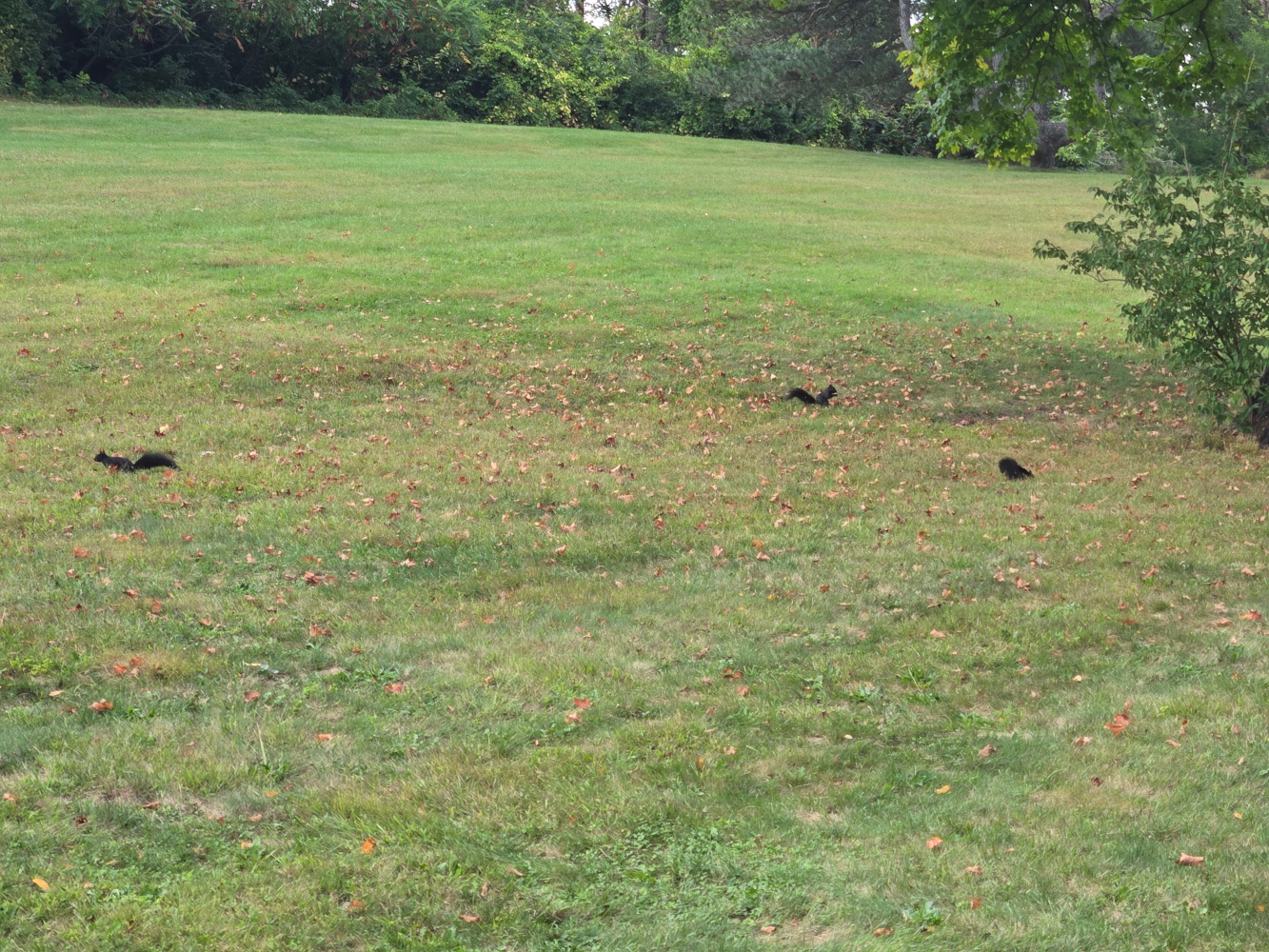
Also noticed the squirrels are out in full force and this area seems to have a fairly large population of black squirrels.
I continued on into the Moore’s River Neighborhood until I got the “restart” point of the River Walk Trail. Interesting note, I did see two houses for sale. I took pictures but I am not posting as it is not relevant to this work. However, I looked them up on Zillow and at first I was surprised they were less than half a million. After reviewing the photos though, I could see why and why they were still for sale. At any rate, back to the beginning of Moore’s River Driver / Frances Park.
From there I turned back around and headed back through the neighborhood. I noticed as I was leaving the neighborhood and entering back into Riverside Park, there was another adjacent park called Quentin Park. I didn’t walk to it but noted it to see if it had any parking (it did not).
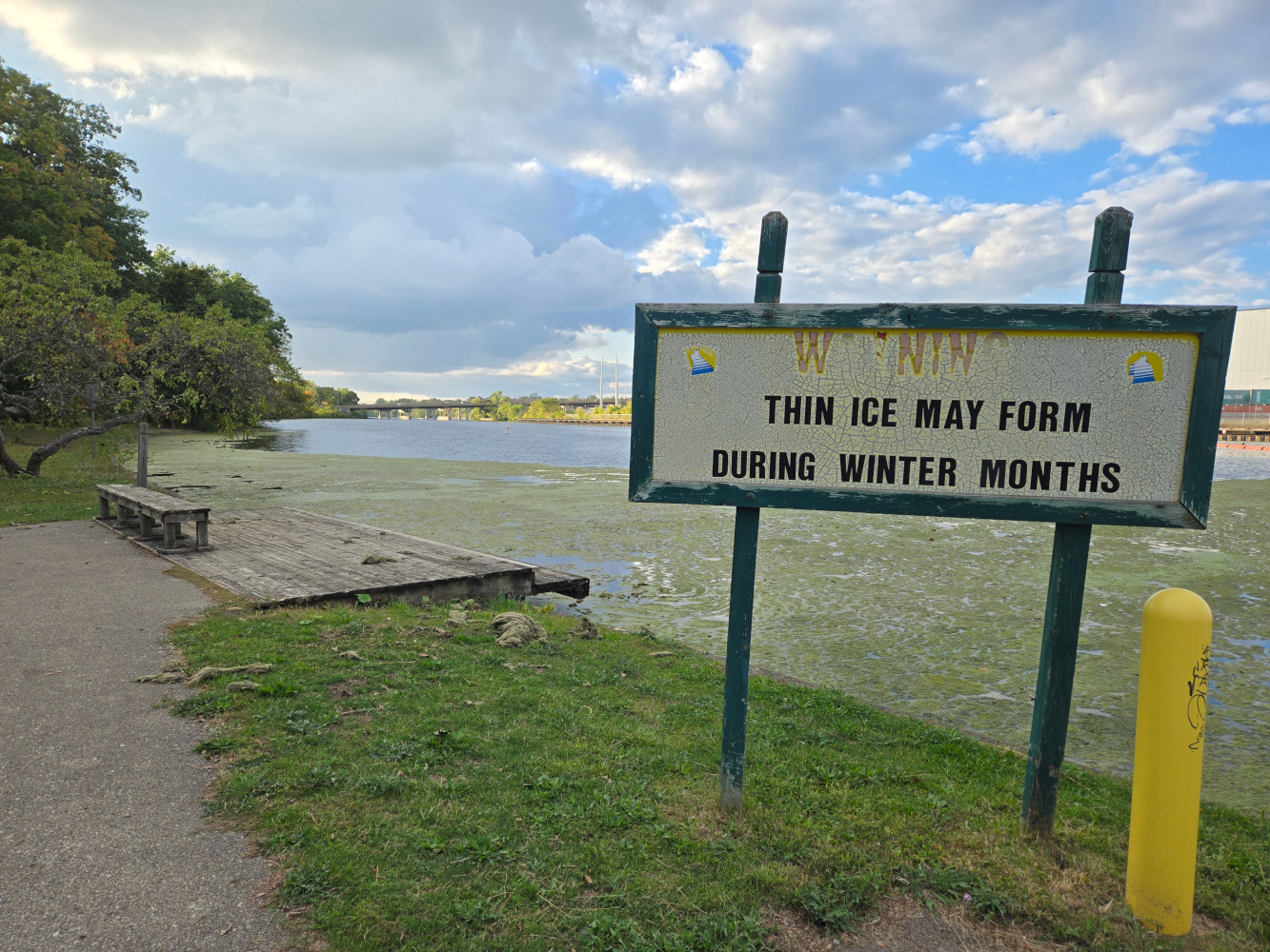
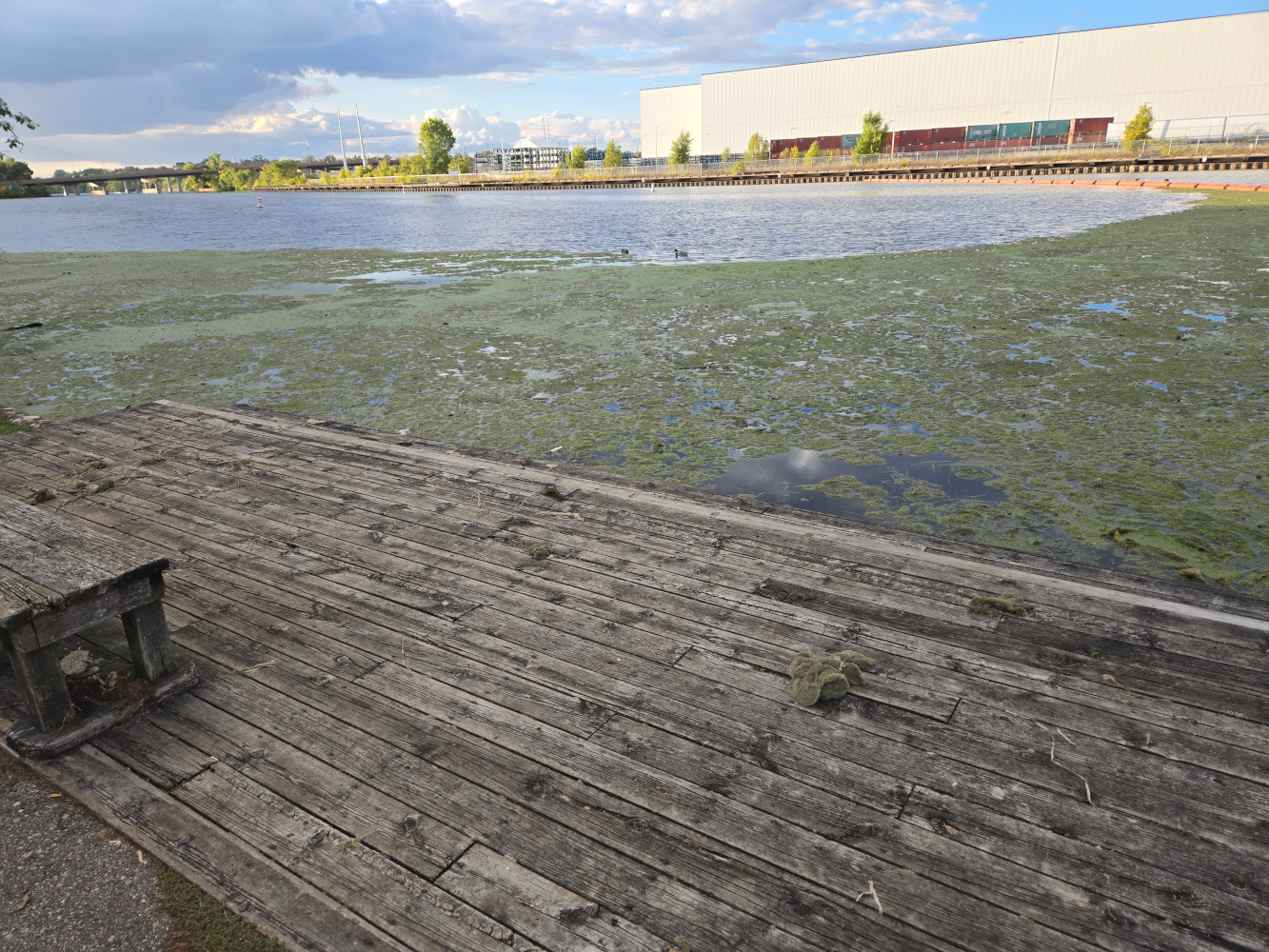
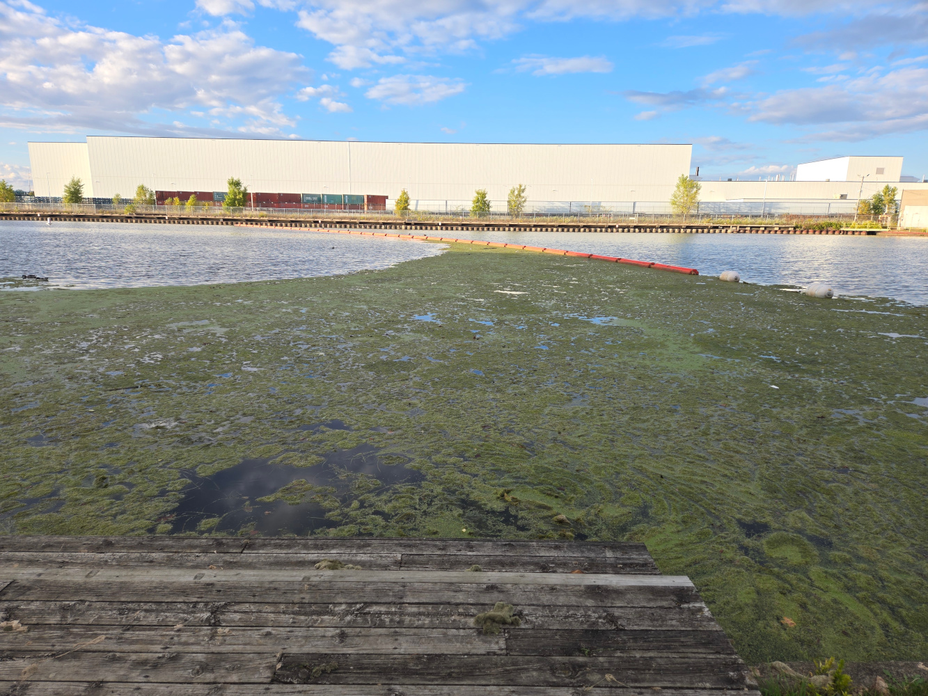
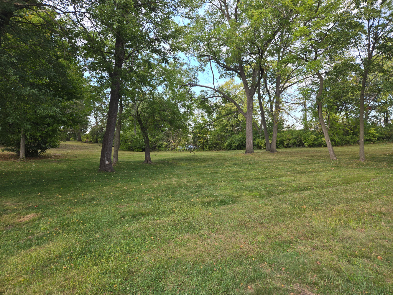
Continuing into Riverside Park I went to the previously observed opening. It wasn’t as open I had hoped.
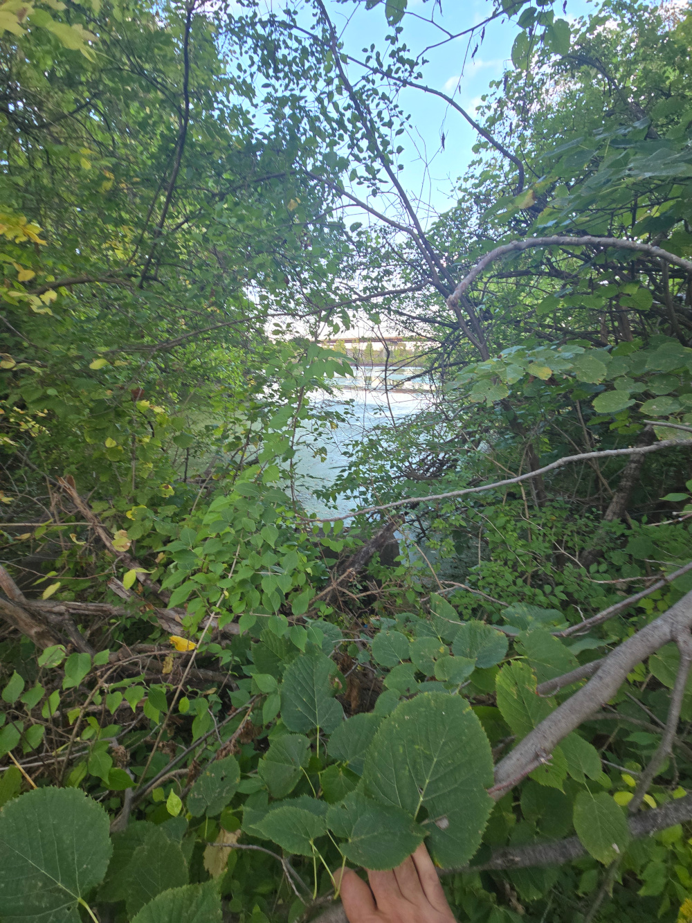
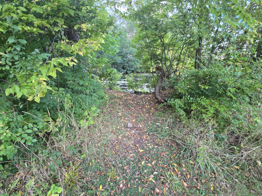
But walking along the edge further, I found much more significant openings and access to the river.
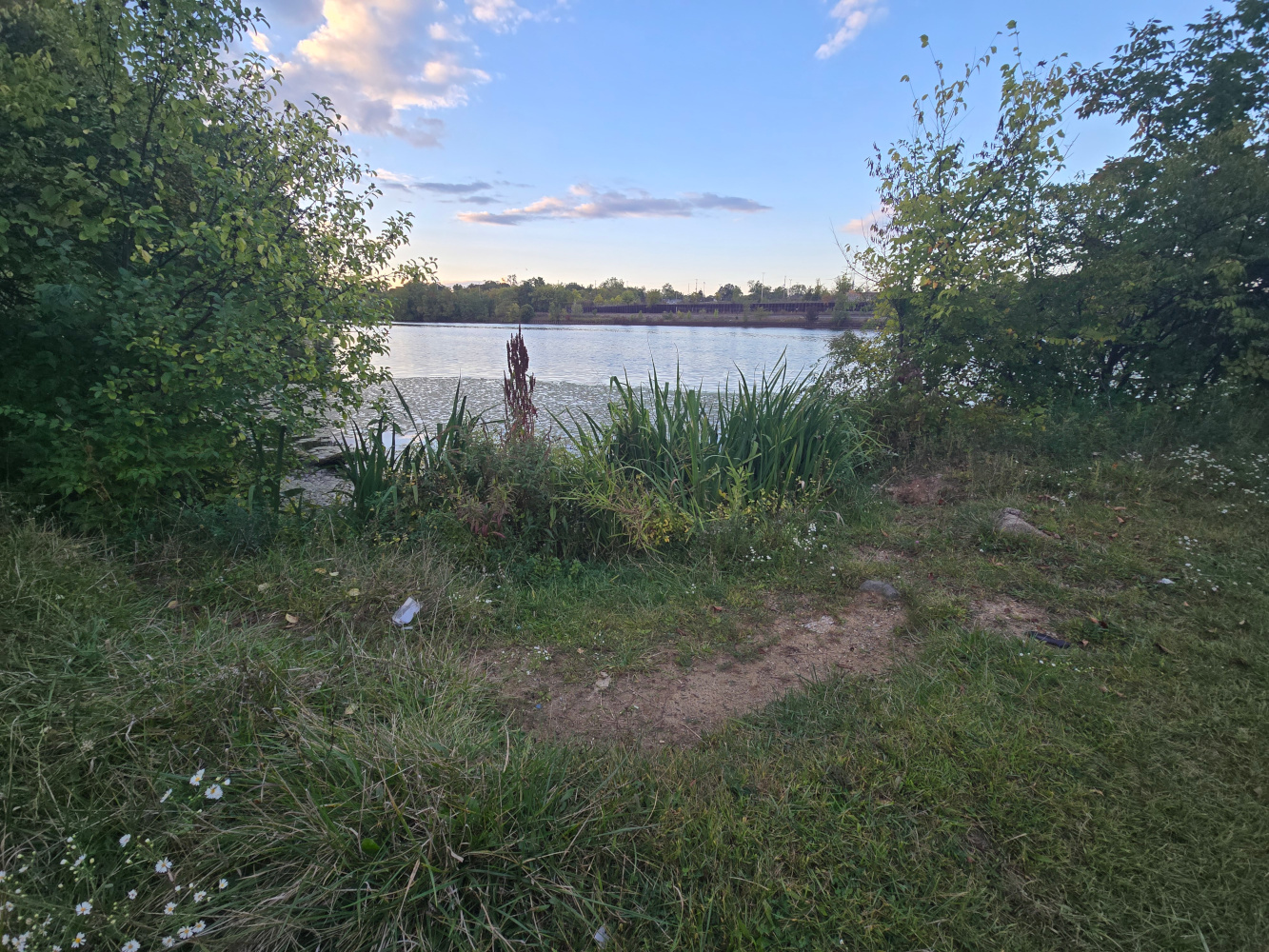
The determination was it is unlikely that I will need to use Riverside Park due to it only being a short distance from the Dam. However, there is a level of feasibility if needed. Albeit a lot of work as it is quite a hike from any possible spot to park and these access points.
I then walked the rest of the way back to the car and headed out. I was going to try to check out some other places but it was getting dark and so I headed home.
Epic Trail Map!
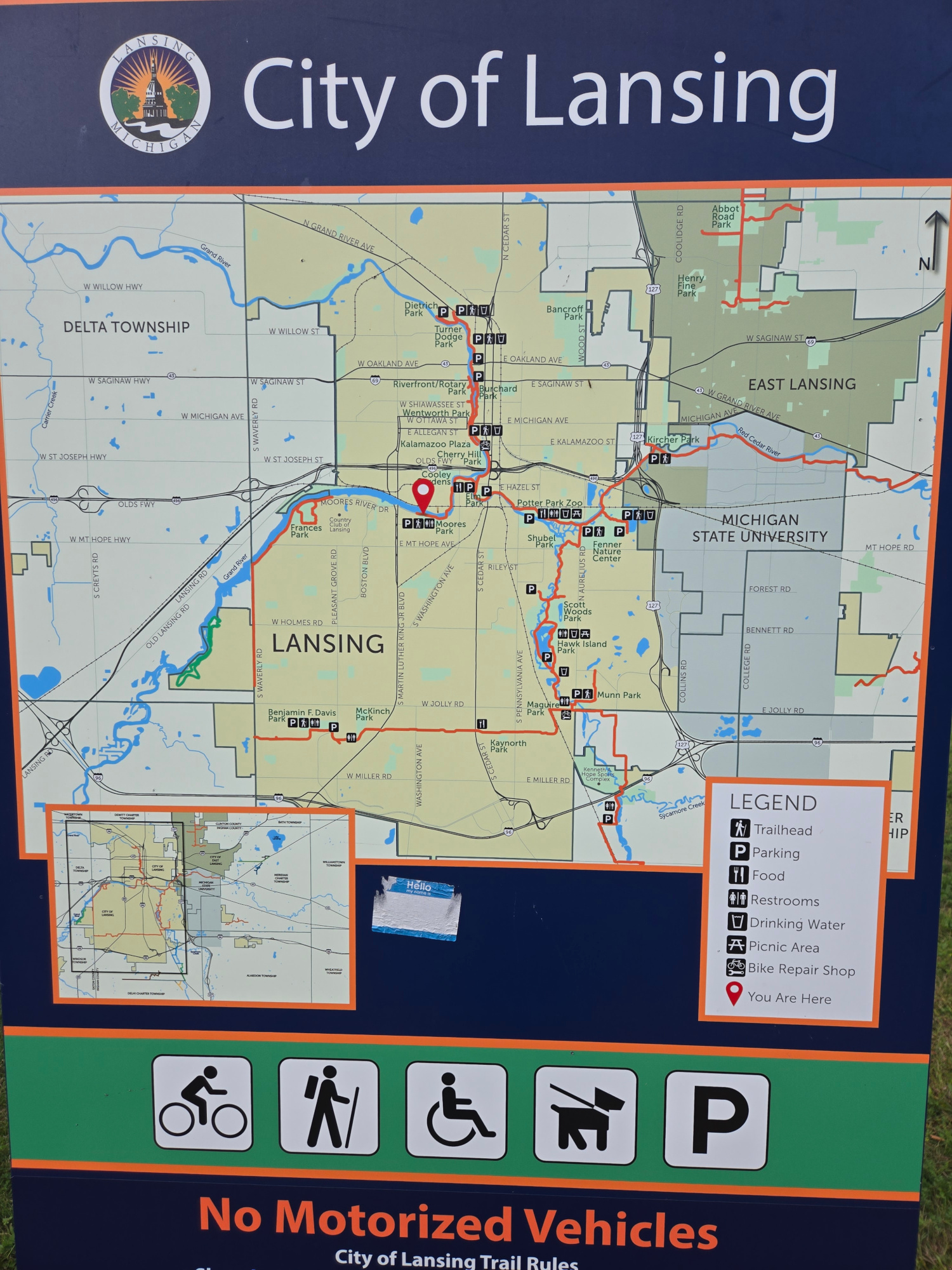
Prior to the above hiking trip, I found this map post in Moore’s Park. This is the most detailed route map I have seen and want to find its equivalent online. Note, is shows the break in the trail between Moore’s Park and Frances Park (which we proved out can be negotiated with the existing sidewalks). But also gives insight into how accessible the rest of the area is.
The closest I could find is this:
https://www.google.com/maps/d/embed?mid=1F_16PkqYRdjYzxvX_0o8KjRK1o3vmCw&ehbc=2E312F
Also, while searching this, found some good news for the future
https://www.mgrow.org/grand-river-water-trail
Notes for Next Field Research
Still need to spend more time at the Hunter’s Ridge / Fulton / Fine park locations. The research here could help reduce the amount of work upstream between here and the Dimondale Canoe and Kayak location. Considering with rough check is about 2.8 miles from the Fine Park location. If that location has upstream data, it could significantly reduce the amount of research needed farther up. At this time, considering that the “stop gap” point for upstream research.
Speaking of which, the Grand Valley Park off of Lansing Road where the Michigan Princess Riverboat is located needs to be researched. This is the “north bank” part of the Moore’s Park to Frances Park and may be an asset.
Also, adding in the Woldumar Nature Center as this is on Old Lansing Road and upstream of Fine Park. It is highly doubtful any river access could be achieved here, but it is worth investigating. Item of note with this, besides getting as close to the river, want to see how south this gets as there is an area in the southern part of this land where it would be the other side of Jolly road if it crossed the river and I don’t know what is going on here. Not sure how far south the trails go here but I want to see.
Other than that, we can go back to working on the downstream side as well. Again, I want to take another look at Fitzgerald Park. Also need to check out possibly Lincoln Brick park, Grand Kayak and Charlotte Hwy Kayak Launch. Beyond that would require some deep research.
Actually add on notes for me. Upon some further research, finally found a potential campground (Cottonwood Campground http://lansingcottonwoodcampground.net/) that may be able to tent camp in. This is on the Sycamore Creek which also runs adjacent to the Lansing River Trail heading south. This would constitute a separate research project as this is not on the Grand River, but may work as a test bench for doing a significantly longer run. We would want to find how far south we could start on the Sycamore Creek and how clear the run would be. But it has potential.